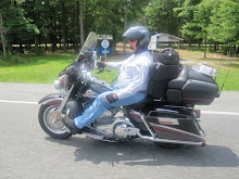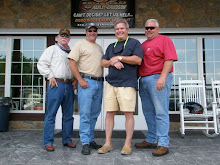
The Guys Come Full Circle!

The Guys Come Full Circle!
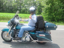
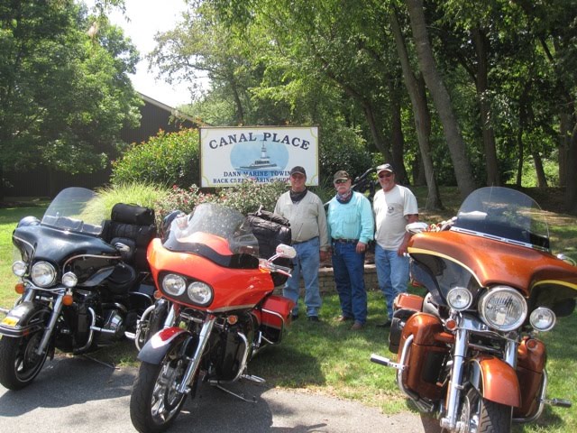
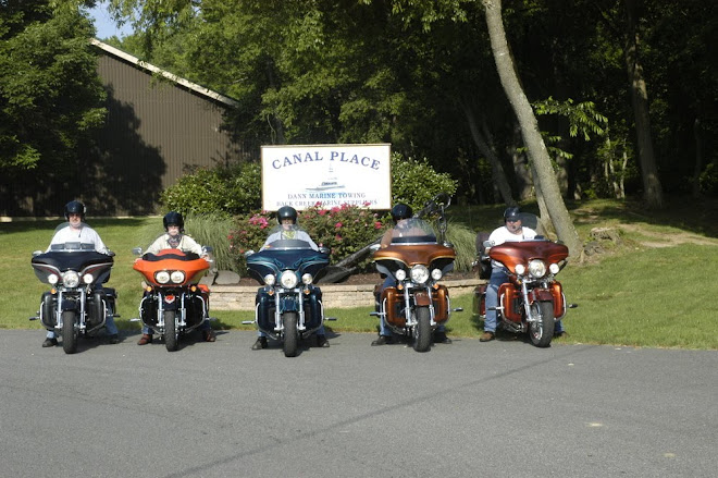
Ron, Stu and Fred finish the ride where they began, Canal Place in Chesapeake City, Maryland.

4 Guys at the 4th Corner-July 15, 2010

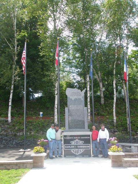
4 Guys at the 4th Corner-July 15, 2010
The 4 guys reach the 4th corner in Madawaska, Maine.

The Third Corner - Blaine, Washington

The Third Corner - Blaine, Washington
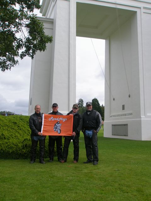
The 4 guys reached the third corner in Blaine, Washington on July 4, 2010 on the 32nd day.

The Second Corner - Border Field State Park

The Second Corner - Border Field State Park
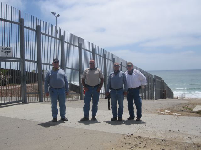
The guys reached the second corner on the 16th day, June 19, 2010, just south of San Diego, California

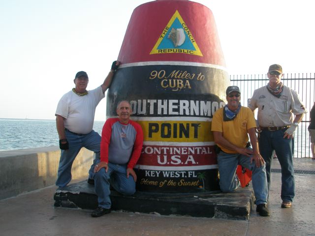
The First Corner - Key West, Florida

The First Corner - Key West, Florida
The guys reach the first corner on the 4th day, June 7, 2010

4 Guys Go Western

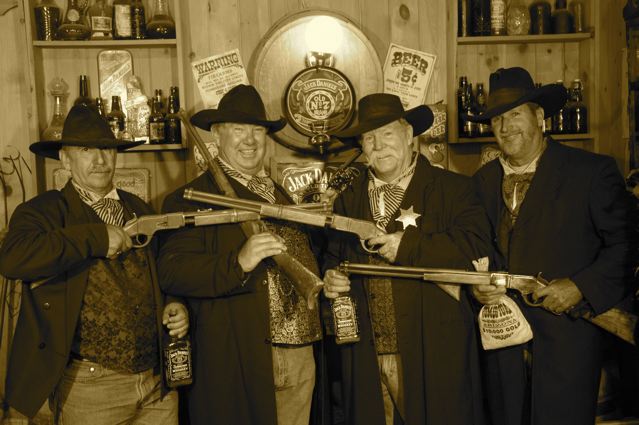
4 Guys Go Western
While in Tombstone the guys made a pact to ditch the Harley wear and motorcycles. They are going to travel the west on horseback while dressed in period costume!

To Our Followers

Welcome to our blogsite! We are four blessed guys with very understanding and supportive wives and families. They are encouraging us on this eight week endeavor of a life time. We're glad to have you along on the trip with us. Please sit back, relax and enjoy this journey around our beautiful United States of America. Thanks! From: 4 Guys Looking for 4 Corners

The 4 Corner Guys

The 4 Corner Guys
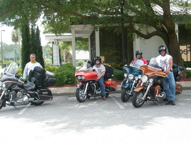
Freddie, Stu, Mike and Ron

Arrival in Chesapeake City, Maryland

Arrival in Chesapeake City, Maryland
Fred, Stu, Mike, Ron and Ken

Sunday, July 4, 2010

Day 32 - Billingham, Washington to Colville, Washington

The highway sign pointing the fellows towards the third corner!
This is it, Blaine, Washington! A very quaint little town.
4 Guys reach the third corner! Mike, Fred, Stu and Ron holding the Road Hogs Motorcycle and Motorcoach flag at the Peace Arch Park. The Peace Arch Park is a 50 acre park marking the border between the United States and Canada. Canada and the United States care for each half of the park. After the experience at the second corner in San Diego, the boys said this third corner was really cool.
The sign on the United States side welcomes visitors to the Peace Arch State Park. The guys only saw one United States Border Patrol vehicle at the border park. Quite a difference from the amount of border patrol presence at the U.S./Mexico border!
This sign welcomes visitors to the Canadian, British Columbia side of the Peace Arch Park.
The Peace Arch with the American and Canadian flags flying. A sign on the arch reads, "Let these gates never be closed."
The American flag depicted in flowers.
The Canadian flag made entirely of flowers.
Mike, standing in Canada, and Fred in the United States, imitate the friendly relationship between the two countries with a hearty handshake.
Ron stands by the United States concrete marker.

Stu's bike points east, the new direction the boys will take. Ron's bike points north, the direction the guys have been traveling up the west coast. This is the official passing of the GPS. Stu will lead the group across the top of the United States and Canada.
As the guys continued on their journey heading east, they crossed the Cascade Mountain Range into the Cascades National Park. The elevation in the park on the Washington Pass was 5,477 feet. The temperatures read on the bikes varied between 32 and 35 degrees. Ron said, "we wore everything we had with us. We were freezing our asses off!"
The dam on the Columbia River within the Cascades National Park.
The dammed river created Ross Lake.
Lunch stop, Winthrop, Washington. This little town was decked out in wooden sidewalks, buildings with old west style facades and cute little shops.
After lunch, the guys forged on through the Sherman Pass. Crossing the White Mountains they were at 5,587 feet elevation. It wasn't much warmer after lunch!
The boys knocked down 365 miles before stopping in Colville, Washington. Sounds like they definitely earned that hot shower today.
Happy Fourth of July guys! You were indeed missed today by all your families.


Day 31 - Olympia, Washington to Billingham, Washington

The guys departed Olympia, Washington heading west to see Washington's Pacific Coast. Their route took them right into Olympic National Park. They continued through the park and on to the coast.
Right away they noticed the coast line was more beach like, than the coast in Oregon and California. There was more sand. The rock cliffs were mostly absent.
The Pacific Coastline in Washington state.
The 4 guys boarded the Washington State Ferry in Port Townsend, Washington. They crossed the Puget Sound disembarking in Oak Harbor, Washington. The Puget Sound is a complex collection of waterways and basins. It contains one major and one minor connection to the Strait of Juan de Fuca and the Pacific Ocean. Not only the bodies of water, but the entire region is referred to as The Puget Sound.
Ron on the ferry.
The 4 bikes parked among others on the ferry.

Admiralty Inlet is the major connection aforementioned, Deception Pass is the minor connection. This is the bridge in Deception Pass.
Ron, Mike, Fred and Stu strike a pose for a group photo at Deception Pass.
A birds' eye view of Deception Pass.
A tour boat zipping though the water of the pass. The guys liked this photo for the shadow of the Deception Pass bridge.
Billingham, Washington was the destination for the end of the day. The guys rode a total of 340 miles before calling it quits for the evening. Tomorrow...the 3rd corner!

Saturday, July 3, 2010

Day 30 - Portland, Oregon to Olympia, Washington

Believe it or not, today was the first day in thirty the weather turned ugly. When they awoke it was gray, raining and foggy. Fully suited in their raingear they headed out. Fred is well prepared.
East of Portland, Oregon they came upon the Columbia River Gorge. Usually a very picturesque area, the gorge was socked in with fog. Between really having to pay a great deal of attention to the wet roads and the fog, sightseeing was pretty much out of the question.
Mike bundled up and waterproof!
Stu and Fred at McClellan View Point at Mount Saint Helens. Mount Saint Helen was a volcano that erupted in 1980. The hot flowing lava ravaged the side of the mountain.
Behind Mike, Mount Saint Helen is visible. It is snowcapped and slightly over his left shoulder. If you look closely you can still see bare areas on the side of the mountain. The guys were amazed how much the area had healed in the relatively short span of 30 years. Much of the area affected by the volcanic eruption was now covered in vegetation.
Gifford Pinchot National Forest, still in the Mount Saint Helen area.
Ron, Mike, Fred and Stu in Mount Rainier National Park.
The Mather Memorial Parkway located within Mt. Rainier National Park. The pavement had dried but it was cold, damp and drizzly. Selecting the east side of the pass around Mt. Rainier had the guys climbing to an elevation of only 4,800 feet. Viewing Mt. Rainier was impossible today. Once the boys hit 3,800 feet they were already in the clouds and fog. Mt. Rainier is 14,800 feet tall. It was hidden in thick fog and clouds.
Being in the higher elevation made for some mighty chilly conditions. Stu buttons up trying to stay warm. Given the inclement weather, the boys were happy with the 280 miles ridden. They finished up in Olympia, Washington. Plans are to hit that 3rd corner on the 4th of July.
They they'll be turning east and heading towards home!
Mike is searching the woods line, he must have lost something!


Friday, July 2, 2010

Day 29 - Portland, Oregon

Fred finally pinpoints the problem with his bike's motor. Paradise Harley Davidson opened at the crack of 10:00 a.m. The guys had their bikes at the dealership promptly at 10:00. Knowing the bikes would be in service most of the day, they had to find something to do with their time. As luck would have it, a museum was nearby.
Evergreen Aviation Museum! Did you think they would spend the day at an art museum? The museum exhibits old stuff, new stuff, military stuff, commercial stuff, etc.
The museum sits right across the road from Evergreen International Aviation. The company provides air transportation and services from agriculture and commercial applications to humanitarian efforts. This full size 747 sits atop the building. 63,000 pounds of weight had to be stripped out of the aircraft in order for it to be placed on top of the structure. The museum was the dream of this man, Michael Smith. He wanted to educate the public, especially children on the realms of aviation. Michael was a fighter pilot. Sadly he was killed in an automobile accident while home on leave. He was only 29 years of age. His parents completed Michael's dream.
This is the jet that Michael flew.
His plane, mounted in front of this building, appears to be poised for landing. Notice the road is marked line a runway?
Do you ever wonder what happened to Howard Hughes' creation the Spruce Goose? Wonder no more, it is housed here at Evergreen.
Ron and Stu with the Spruce Goose behind them. The plane is so large it was difficult to photograph the whole thing!
Stu at the helm of the Spruce Goose. Nice hat...just like Hughes himself!
Ron offers his flying expertise in the cockpit of the Spruce Goose. Hey Ron, you need a bigger hat!
Not a Stealth, but a Black Bird. This beast flies at 2,000 miles/hour and 83,000 feet. One of the museum guides told the guys that was just to satisfy certain criteria. This plane has actually flown faster and higher.
Let's see, the boys have toyed with completing the 4 corner ride on horseback and mountain climbing. Now the Space Shuttle? That seems....excessive. Evergreen International Aviation transports...the Space Shuttle!
The 4 guys finished touring Evergreen Aviation Museum so they headed back to Paradise Harley. The bikes spent the entire day at the dealership from open to closing. Looks like Mike is getting ready to check out. The service writers, Darrin and Marty, did an outstanding job. They even found a problem with Ron's bike on a test drive. It was going to become a major problem...soon. This has been a very pleasant and efficient Harley experience. Thanks Darrin and Marty!
Total miles ridden today, a whopping 20!


Thursday, July 1, 2010

Day 28 - Coos Bay, Oregon to Portland, Oregon

While traveling up the Oregon coast, the guys stopped to visit the Sea Lion Cave. The world's largest sea cave, according to the Guinness Book of Records, is located 11 miles slightly north of Florence, Oregon.
Steller Sea Lions hang out, breed and give birth at this rookery.
The herd of about 200 Steller Sea Lions sunning themselves on the rock coast. This image is a close up of the Sea Lions.
The actual view of the pinnipeds which are carnivores. The Sea Lions consume mostly bottom fish-Skate, small Sharks, Squid and different varieties of rock fish.
This two acre cave is where the sea lions spend the fall and winter months. It offers protection from harsh coastal conditions.
Oops..some of these critters don't know it's July!
A view of Oregon's Pacific coast.
The guys say, "the photos simply don't do the view justice."
A lighthouse on the coast point.
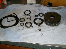
Travel today was hampered, Fred's bike began leaking oil. The guys, with some impressive trouble shooting, detected a faulty oil seal. They contacted a Harley dealer in Portland, Oregon for some service help. The dealership was able to get Fred's bike in for repair, as well as the other three bikes, for routine maintenance. The fellows only logged 210 miles today.